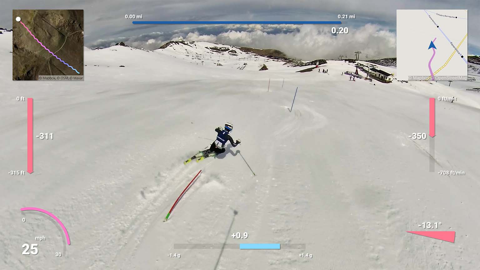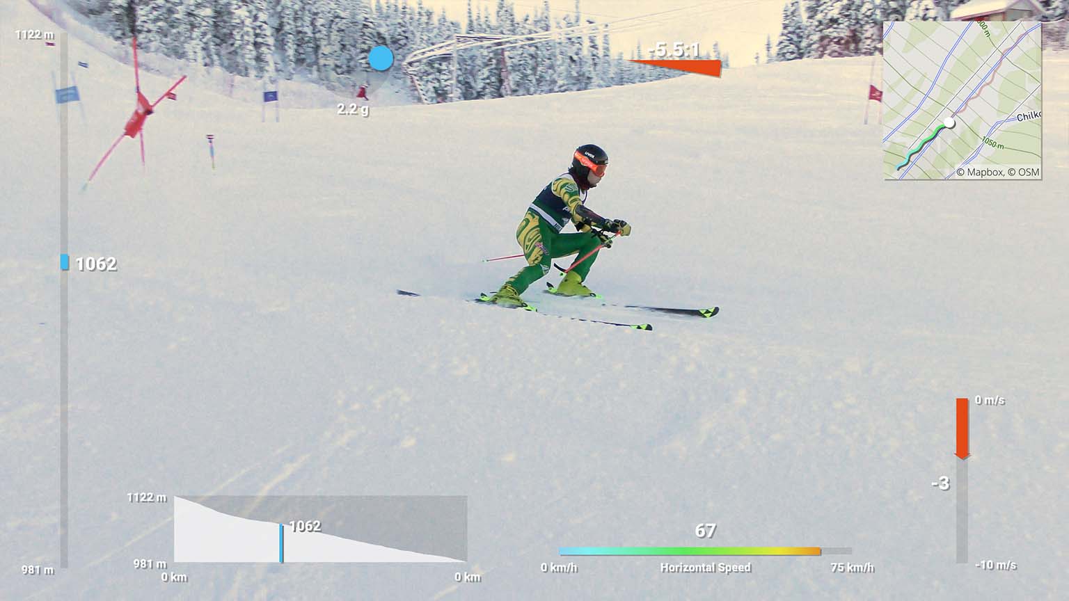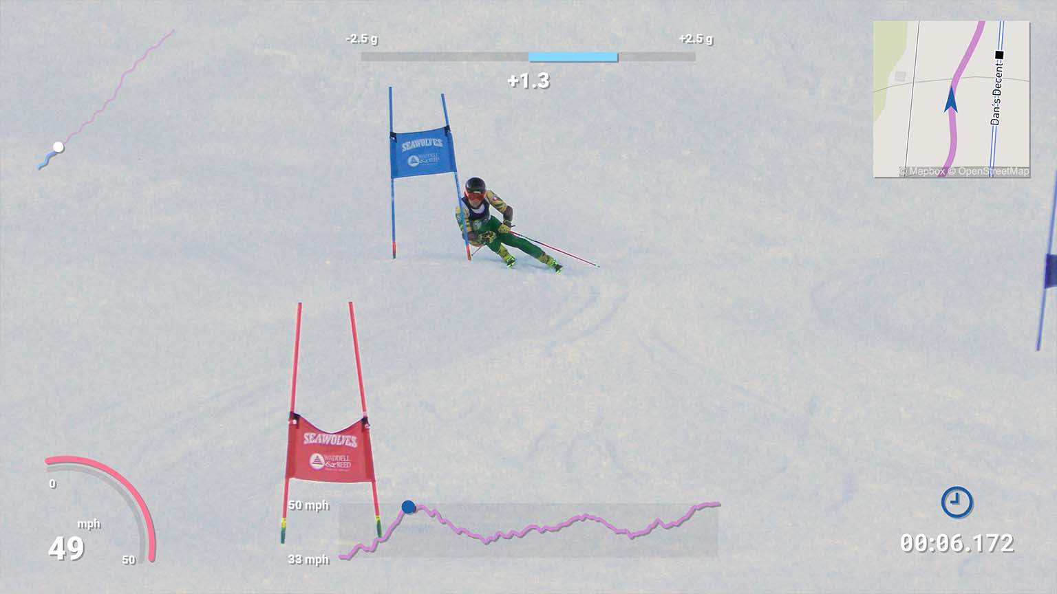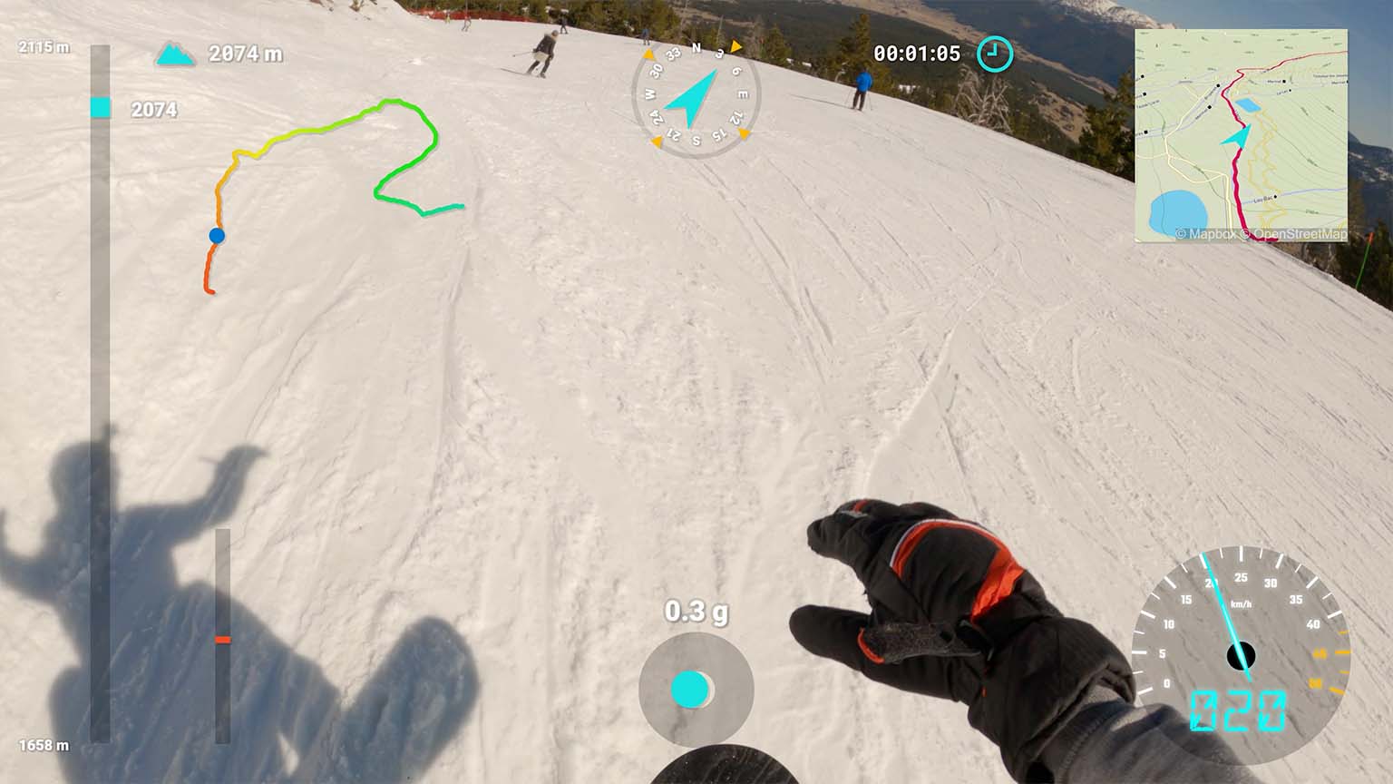
Snow sports video dashboard
Add GPS and sensor data to your ski videos
Telemetry Overlay
Finally! An easy all-in-one way to create a heads-up display for your action videos and drone footage. Compatible with multiple camera brands and data formats, including GoPro, DJI (drones and Action 4/5/6/360), Insta360, Garmin, GPX and many more. Merge consecutive videos with GPS data, sync telemetry from multiple sources, customize your gauges and much more.
$299$199
Currency conversion may applyPay once
Use forever
1 Year Updates & Support
Download Telemetry Overlay

Purchase for Windows
Win 10, 11, 12...

Purchase for macOS
Apple Silicon & Intel

Purchase for Linux
DEB & RPM packages
How to add GPS and sensor data to skiing videos?
Use a GPS-enabled camera or import advanced metrics from your professional activity logger.
Dozens of supported data formats
- Professional skiing trackers from Protern.io
- Cameras with embedded data: GoPro, Insta360, DJI drones & more
- Data from Android or iPhone apps (GPX)
- Activity tracker logs: Garmin watches (FIT file), GPX files, CSV, TCX, KML... and many more. See instructions manual
If in doubt, get in touch or test your data with the free Telemetry Overlay Trial.
Map imagery
Add static and moving maps showing your position with different map styles or satellite imagery. Use the default MapBox styles or create your own through MapBox Studio.
Easy to use
- Drag-and-drop intuitive interface
- Customize shapes, colors and sizes
- Sync external data to camera time automatically in optimal conditions
- Lots of video tutorials and a helpful community
Hundreds of gauges included
Speed, distance, time, slope, GPS path, temperature, elevation gain, altitude vs distance, speed vs time, heart rate, acceleration and many more combinations and custom streams.
Availability depends on imported data.
Import more metrics from your logger and create custom gauges of any style, for example turn direction, curvature or energy dissipation from Protern.io devices.
Ready-to-go Skiing preset
Create a heads-up-display in moments by using the preset.
Works for any kind of winter-sports and other activities: skiing, snowboarding, snow mobiling, sleds, ice skating...
Copy more gauges and styles from other presets for unique looks and metrics: drone, motorsports, aviation, cycling...
Have more questions? Check out the instructions manual, the tutorials, ask the community, experiment with the Trial version, or get in touch.
Examples
See what other users have created
2X Olympian skier Jillian Vogtli, filmed by Lucas Catania
Absolutely beautiful skiing and endless run with Marius
Abe Kislevitz films himself skiing at 121 km/h (75 mph)
Professional skiers use Protern.io and Telemetry Overlay to improve their performance
Alex Wrigglesworth reviews the Austrian slopes
Giant Slalom world champion Henrik Kristoffsen uses data analysis to perfect his skills
Minimalistic skiing layout in Sweden
Winter sports like snow mobiling can be enhanced with GPS and sensor data
Customization options are almost endless
User Reviews
Professionals and hobbyists alike are joining the Telemetry club
Tutorials
Learn to use the software
How to use Telemetry Overlay
Import external data from loggers and trackers and sync it to your videos
Improve the GPS signal of your GoPro camera
Learn to use satellite imagery and map styles in your videos
Workflow for 360 VR videos
Export options and best practices
Add GPS and sensor data to your ski videos
Not ready? Test the Trial version

