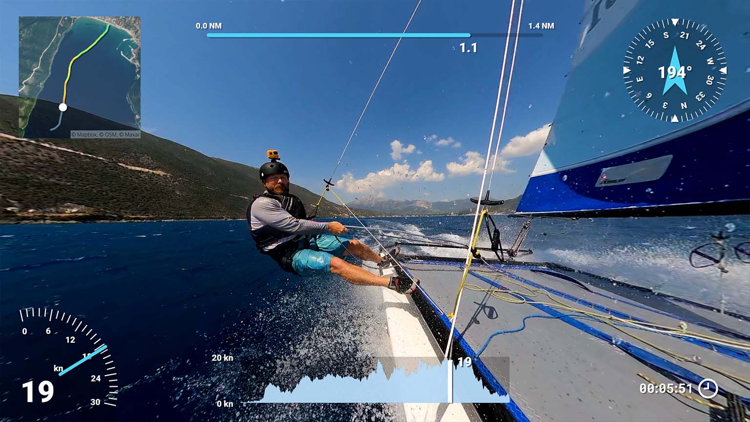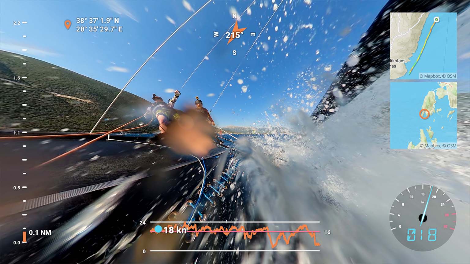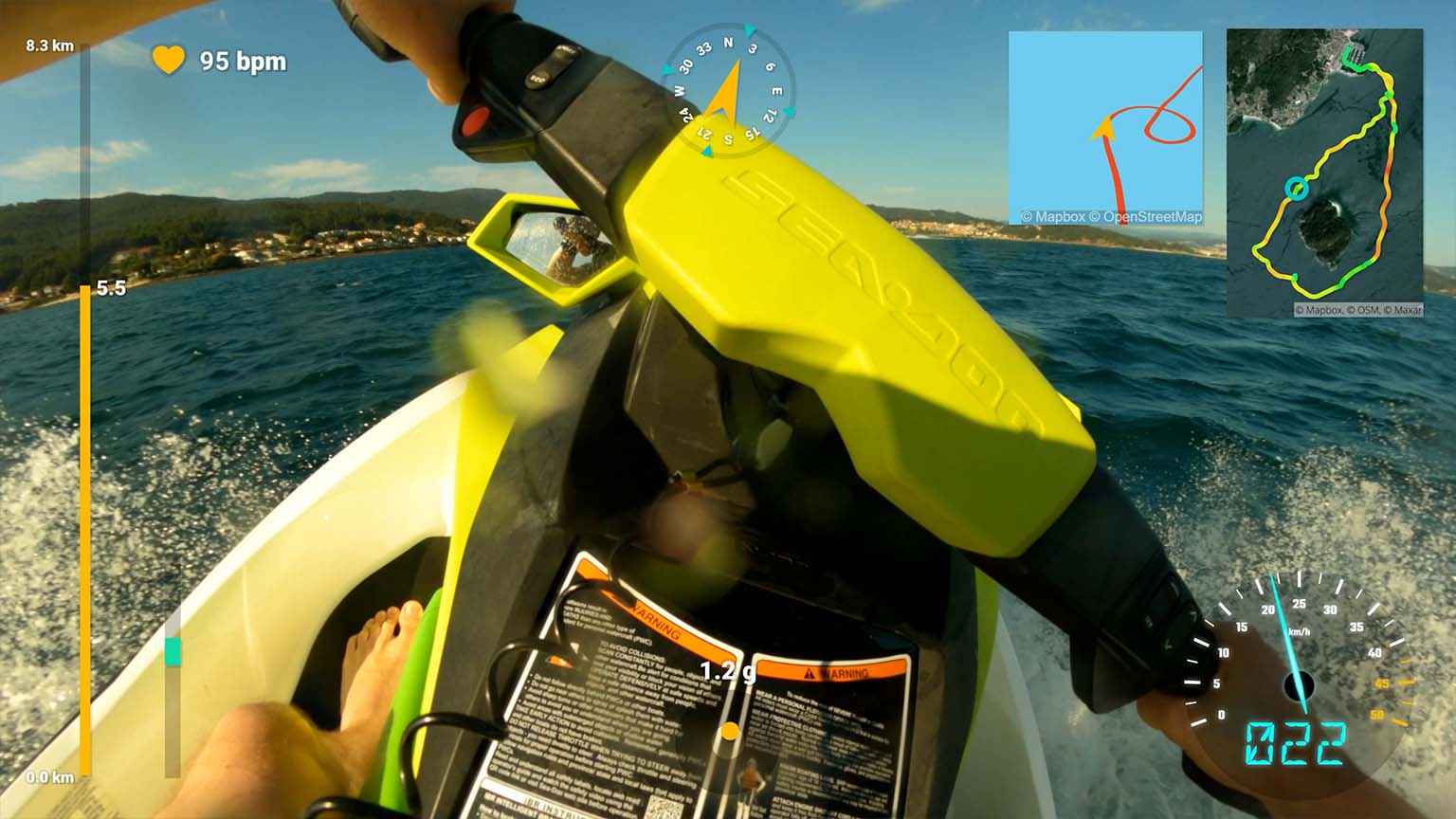
Sailing metrics for video
Enhance your water sports adventures with performance stats
Telemetry Overlay
Finally! An easy all-in-one way to create a heads-up display for your action videos and drone footage. Compatible with multiple camera brands and data formats, including GoPro, DJI (drones and Action 4/5/6/360), Insta360, Garmin, GPX and many more. Merge consecutive videos with GPS data, sync telemetry from multiple sources, customize your gauges and much more.
$299$199
Currency conversion may applyPay once
Use forever
1 Year Updates & Support
Download Telemetry Overlay

Purchase for Windows
Win 10, 11, 12...

Purchase for macOS
Apple Silicon & Intel

Purchase for Linux
DEB & RPM packages
How to add GPS and sensor data to sailing videos?
Use a GPS-enabled camera or import advanced metrics from your sailing or GPS logger.
Dozens of supported data formats
- Sailing logs: Sailmon, Expedition software, Vakaros Atlas, and other trackers that record to CSV, GPX, NMEA 0183...
- Cameras with embedded data: GoPro, Insta360, DJI drones & more
- Data from Android or iPhone apps (GPX)
- Activity tracker logs: Garmin watches (FIT file), GPX files, CSV, TCX, KML... and many more. See instructions manual
If in doubt, get in touch or test your data with the free Telemetry Overlay Trial.
Map imagery
Add static and moving maps showing your position with different map styles or satellite imagery. Use the default MapBox styles or create your own through MapBox Studio.
Easy to use
- Drag-and-drop intuitive interface
- Customize shapes, colors and sizes
- Sync external data to camera time automatically in optimal conditions
- Lots of video tutorials and a helpful community
Hundreds of gauges included
Speed, distance, time, bearing, GPS path, temperature, speed vs time and many more combinations and custom streams.
Availability depends on imported data.
Import more metrics from your logger and create custom gauges of any style. For example, wind speed and direction, heel and trim (pitch and roll)...
Ready-to-go Sailing preset
Create a heads-up-display in moments by using the preset.
Works for any kind of water-sports and other activities: catamarans, jet skis, surfing, windsurfing, kite surfing, boat racing, large ships, kayaking...
Copy more gauges and styles from other presets for unique looks and metrics: drone, motorsports, aviation, cycling...
Have more questions? Check out the instructions manual, the tutorials, ask the community, experiment with the Trial version, or get in touch.
Examples
See what other users have created
Joe Bennett shares his catamaran sailing techniques
Custom sailing dashboard with external data in third person view
Raúl works with Sailmon data and custom calculations for wind and velocity
Dustin Echols from H1 Unlimited does a 10G flip at 175 MPH
Kayaksailing in windy conditions, with external wind data
Rowing with Skylark Aerials
User Reviews
Professionals and hobbyists alike are joining the Telemetry club
Tutorials
Learn to use the software
How to use Telemetry Overlay
Import external data from loggers and trackers and sync it to your videos
Improve the GPS signal of your GoPro camera
Export options and best practices
Learn to use satellite imagery and map styles in your videos
Comparing the GPS data from a GoPro, an Insta360 and a Garmin watch
Enhance your water sports adventures with performance stats
Not ready? Test the Trial version


